


Meet the 7 great ports of the next Tour of Spain
{wbamp-meta name=”image” url=”/images/stories/articulos/puertos-vuelta-espana-2017/Foto_Angliru.jpg” width=”300″ height=”150″}
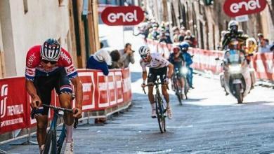
This Saturday 19 of August in the French town of Nimes starts a new edition of the Vuelta Ciclista a España, with a tour highlighting its hardness with many stages with lots of long and hard ports.
In the following article we wanted to highlight 7 large mountain passes, all with an altitude above 1500m and with more than 10km rise.
STAGE 3 - Monday 21 of August
This day the stage ends in Andorra and its most outstanding port is the Coll de la Rabassa.
COLL DE LA RABASSA

- Altitude: M 1.820
- Length: 13,3 km
- Average Slope: 6,8%
- Maximum Slope: 15%
Photo: abuestaenlamontana.blogspot.com.es
STAGE 11 - Wednesday 30 of August
Stage with end in the Astronomical Observatory of Calar Alto, in Almeria. Its most outstanding ports:
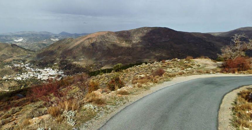
VELEFIQUE

- Altitude: 1.810
- Length: 13,2 km
- Average slope: 8,6%
- Maximum Slope: 15%
Photo: mapio.net
OBS. ASTRONOMIC CALAR ALTO

- Altitude: M 2.120
- Length: 15,5 km
- Average slope: 5,9%
- Maximum Slope: 12%
Photo: telescopios.org
STAGE 14 - Saturday 2 of September
Stage with end in the town of Valdepeñas de Jaen, in the Alto de la Pandera.
HIGH SIERRA DE LA PANDERA

- Altitude: M 1.830
- Length: 12 km
- Average slope: 7,3%
- Maximum Slope: 13%
Photo: andaluciainformacion.es
STAGE 15 - Sunday 3 September
One of the queen stages of La Vuelta, with more than 4000m of vertical drop. It has more than 50 km of rise in total.
HALT OF HAZALLANAS
- Altitude: M 1.680
- Length: 16,3 km
- Average slope: 5,5%
SIERRA NEVADA. HIGH OF THE MORA. MONACHIL (Summing the rise of El Purche)

- Altitude: M 2.510
- Length: 29 km
- Average slope: 7%
- Maximum Slope: 16%
Photos: El Puerche https://andaluciacicloturismo.com
Sierra Nevada. Alto de la Mora: https://unavueltamejor.files.wordpress.com
STAGE 20 - Saturday 9 of September
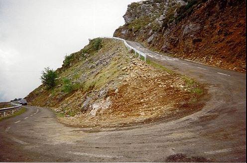
Penultimate stage of La Vuelta, and last chance for changes in the general. A route similar to that of 1999 with the ports of Cobertoria, Cordal and Angliru.
ALTO DEL ANGLIRU
- Altitude: M 1.560
- Length: 12,5 km
- Average slope: 10%
- Maximum Slope: 23,5%
Photo: http://www.theworldinbike.com
There are no previous results.