


Do you want to know the maps of the cycling route and the foot race of the Ironman of Lanzarote?
The maps of the cycling route and the Ironman Lanzarote 2012 marathon are available in pdf format, and the cycling route can also be downloaded in kmz format, thus allowing you to view the route on Google Earth.
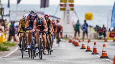
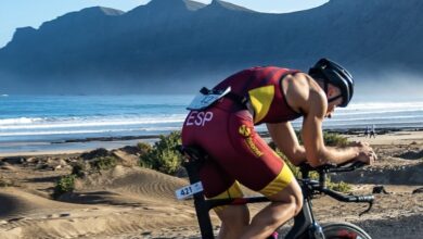
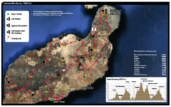
The pdf files allow you to see the route more clearly, but the kmz in Google Earth gives even more precision about which are the roads that the triathletes will pass on May 19 along the 180.2 km. In addition, the map clearly indicates the points where the aid stations will be located, the special aid station (for personal bags), the water only (H2O), the penalty boxes - in case of stoppage imposed by the judges, and the timing point partial Timex.
TIMEX has joined the Ironman Lanzarote to offer a 'Timex Time Bonus', a special award to participants of age groups consisting of Timex products (valued at 500 euros) and will be for those who, in addition to meeting these requirements, successfully complete the tour. :
– the first triathlete competing as an age group – that is, “non-professional” – who manages to reach the “Timex Split” Partial Timing Point of the cycling course. (see map)
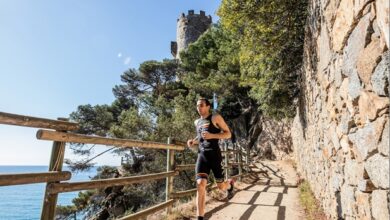
- the first triathlete (female) competing as an age group - that is, “non-professional” - to reach the “Timex Split” partial timing point of the running course, approximately at the 25 km point of the marathon.
In addition, it will also reward the first 10 and first 10 in the professional category.
Do you want to see the maps of the race?
http://www.clublasanta.com/admin/public/NewsletterExtended_StatRedirect.aspx?ID=1367&UserID=56221&Type=1
http://www.clublasanta.com/admin/public/NewsletterExtended_StatRedirect.aspx?ID=1369&UserID=56221&Type=1
There are no previous results.